Atchley & Atchley, Inc.
Menu

Boundary Survey Projects


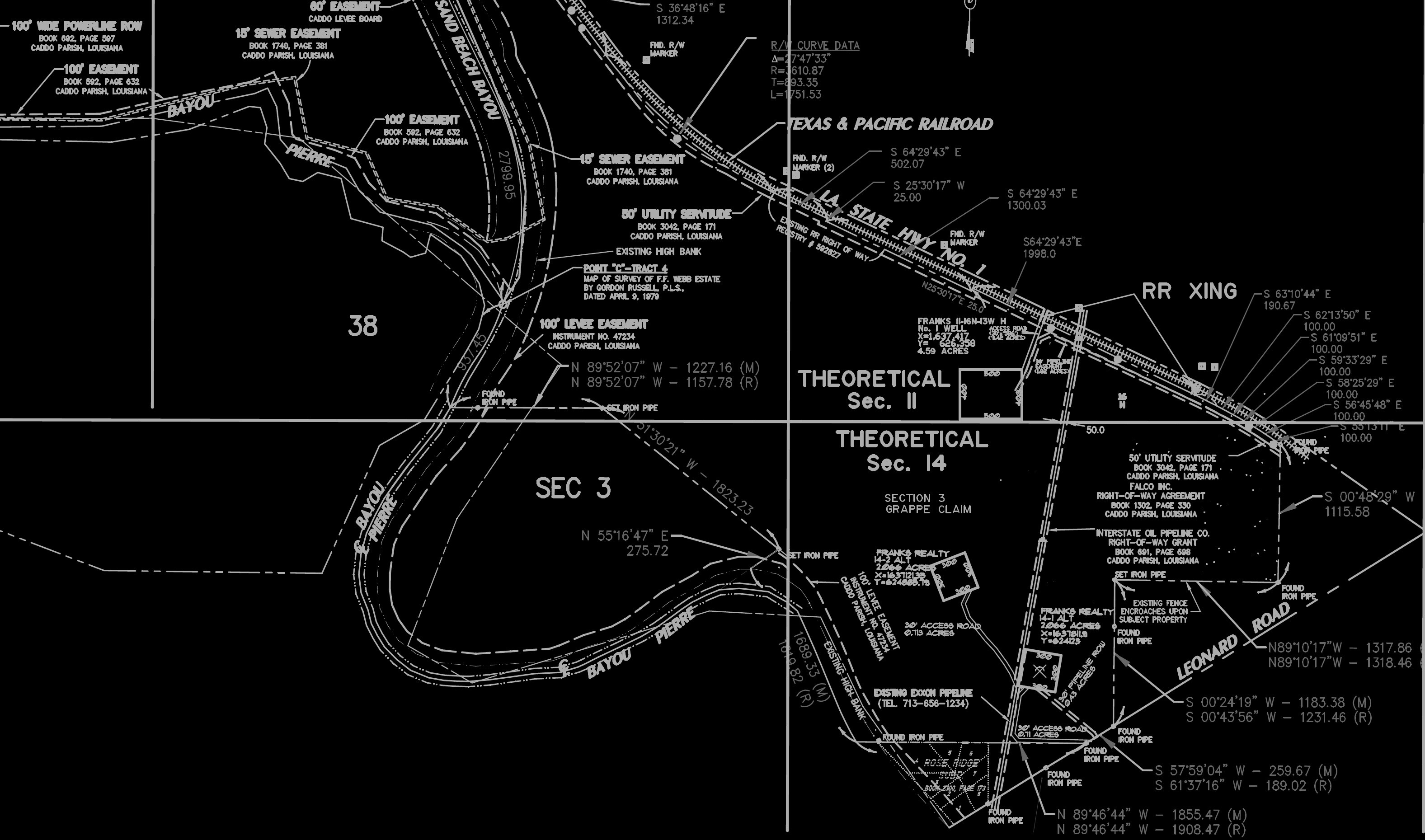
Boundary Survey - Sections 10,11,14,&15 T16N, R13W - Caddo Parish, LA:


The project was to establish the ownership for Franks Investment Co. LLC. The site was comprised of some 432.617 acres in Caddo Parish, Louisiana. This survey project consisted of researching old survey records, as well as utilizing previous survey work to establish the boundaries. Due to the size of the land being surveyed it took time to traverse the boundary. Additionally several other sections of land, were needed to be subdivided out for the owner. Multiple maps were needed to be produced to complete the project in question.


Boundary Survey - Sections 8,17-20,22-26 T19N, R14W - Caddo Parish, LA:
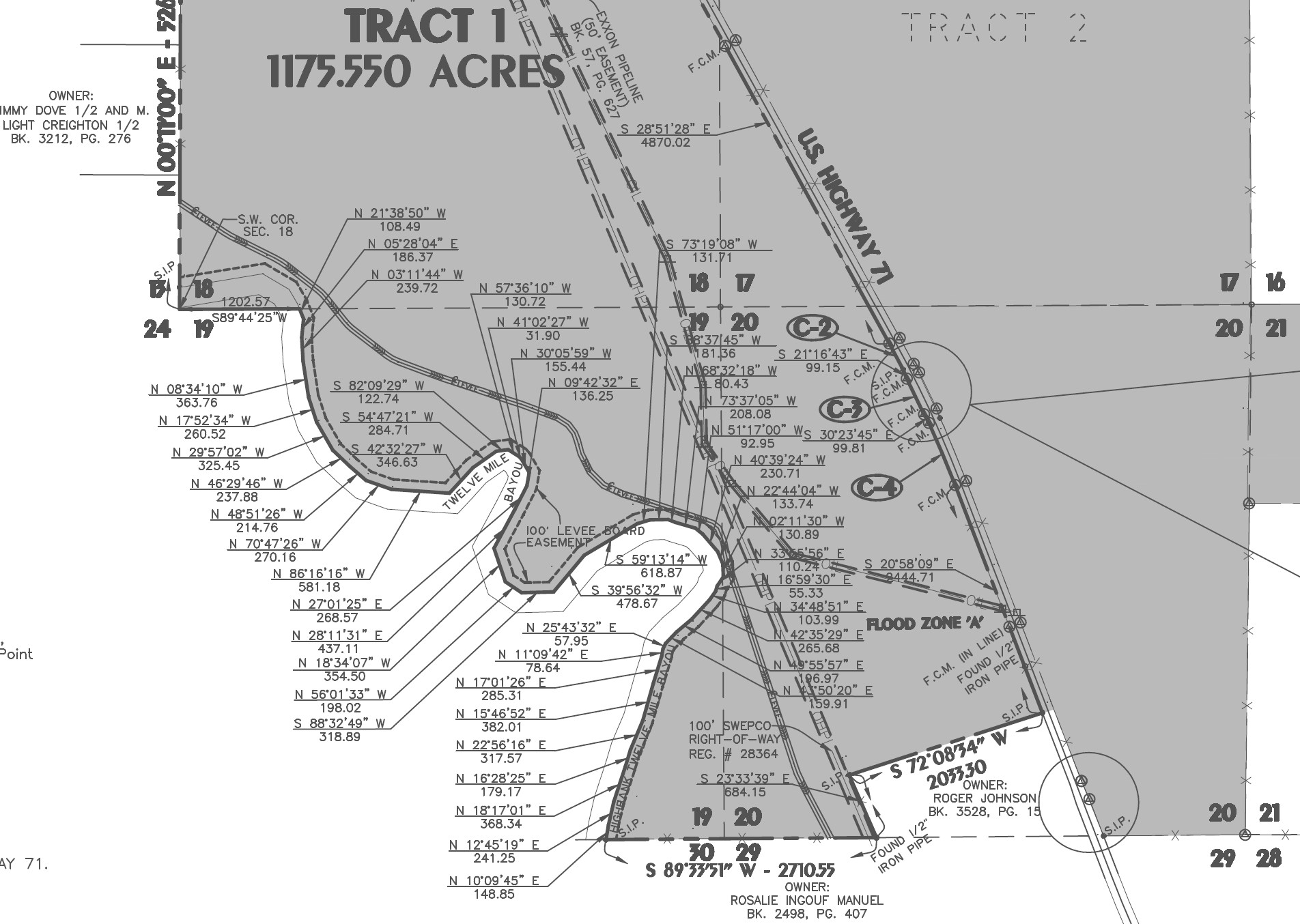

The project was to do a boundary survey of the total property that was known as Frank's Farms LLC. The total site was comprised of some 3,916.8 acres in Caddo Parish, Louisiana. This survey project consisted of researching old survey records, as well as utilizing previous survey work to establish the boundaries. Due to the size of the land being surveyed it took time to traverse the boundary. Additionally several other sections of land, were needed to be subdivided out for the owner. Multiple maps were needed to be produced to complete the project in question.

Column


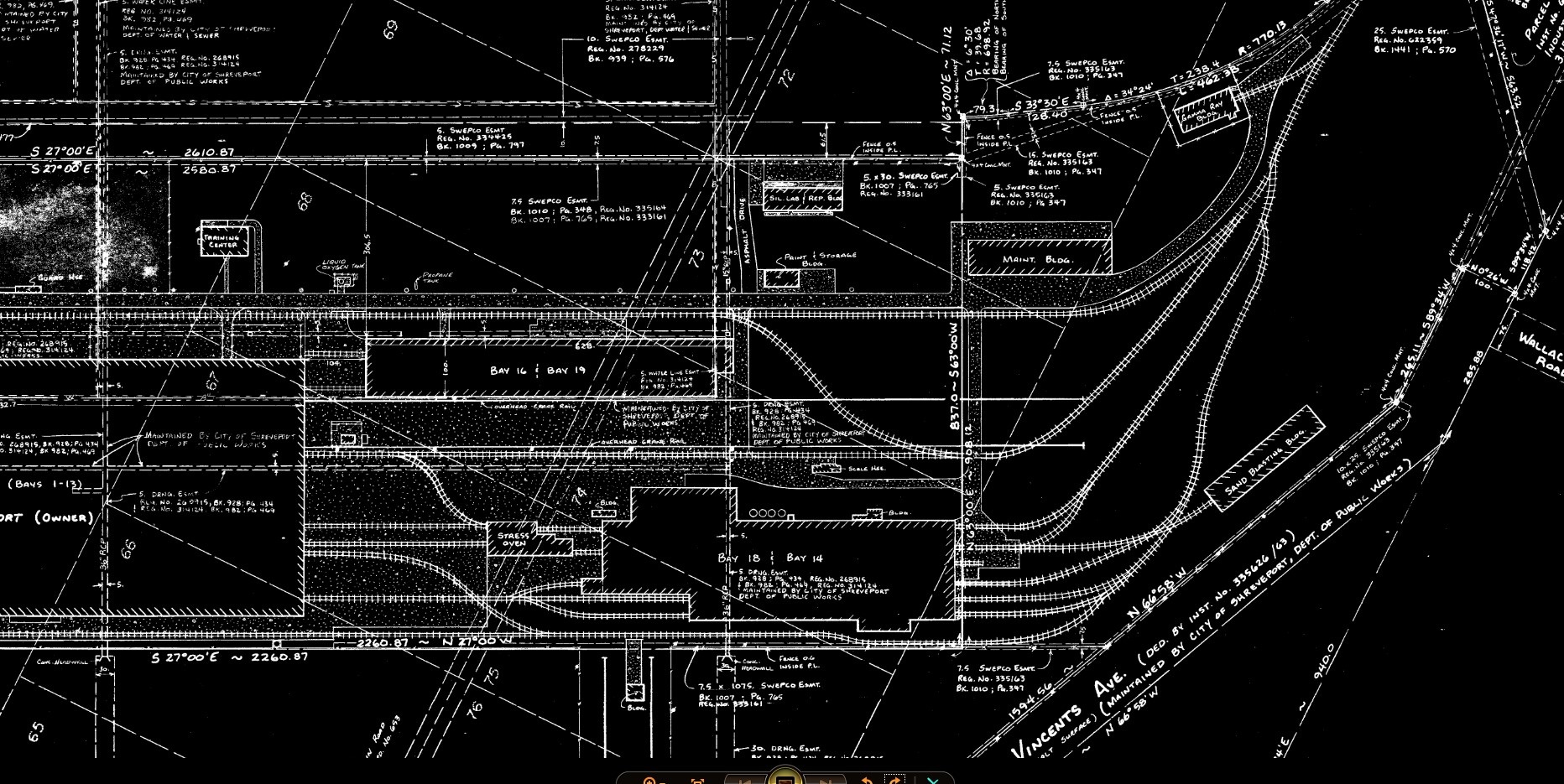
Boundary Survey - Sections 1, T16N, R14W & Sections 6, T16N, R13W- Shreveport, LA:


The project was to do a boundary survey of the total site that comprised of some 48.26 acres in Shreveport, Caddo Parish, Louisiana. This survey project consisted of researching old survey records, as well as utilizing previous survey work to establish the boundaries. Due to the size of the land being surveyed it took time to traverse the boundary.

Column


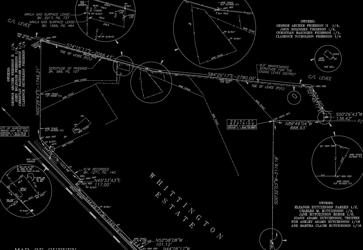
Boundary Survey - Sections 28,29,32,&33 T16N, R12W - Caddo Parish, LA:


The project was to do a boundary survey of the total property for the Caddo/Bossier Port Commission. The total site was comprised of some 340.26 acres in Caddo Parish, Louisiana. This survey project consisted of researching old survey records, as well as utilizing previous survey work to establish the boundaries. Due to the size of the land being surveyed it took time to traverse the boundary. Additionally the property was tied into State Plane coordinates.

https://0201.nccdn.net/4_2/000/000/046/6ea/nsps-logo.png
https://0201.nccdn.net/1_2/000/000/0b6/822/nsps_louisiana_logo.jpg
https://0201.nccdn.net/4_2/000/000/081/4ce/asce-logo-clear.png
https://0201.nccdn.net/1_2/000/000/106/ec9/facebook_logo_2023.png
https://0201.nccdn.net/4_2/000/000/046/6ea/linkedin_logo_initials.png
https://0201.nccdn.net/1_2/000/000/187/599/bbb-logo.png
0

Phone: (318) 222-5821  ●  Cell: (318) 464-5838

Email: atchleyatchleyco@bellsouth.net  ●  Mailing Address: P. O. Box 7190 Shreveport, Louisiana 71137


© Copyright 2016-2024 Atchley & Atchley, Inc. All rights reserved.

close lightbox